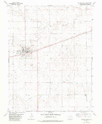
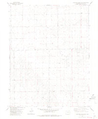
1982 Map of Cheyenne Wells
USGS Topo · Published 1982About this map
Cheyenne Wells serves as the focal point of this High Plains landscape, situated at the junction where the Union Pacific railroad cuts through the arid terrain. The town's layout reflects its role as a regional hub, featuring local amenities such as the Hs (High School), an Athletic Field, and a local Golf Course. Just south of the primary settlement, the Fairground and Roadside Park mark the community's social gathering spaces.
Find a feature on this map
16 named features on this map. Tap any name to fly to it.
Don’t see what you’re looking for? This feature index may not catch every label — zoom into the map to look around manually.
Map Details
Editions of this 1982 Cheyenne Wells Map
This is the sole edition of this map. No revisions or reprints were ever made.
Other maps of this area

1892 · Cheyenne Wells
USGS Topo · 1:125,000

1894 · Cheyenne Wells
USGS Topo · 1:125,000

1954 · Lamar
USGS Topo · 1:250,000

1958 · Lamar
USGS Topo · 1:250,000

1981 · Cheyenne Wells
USGS Topo · 1:100,000
1982 · Cheyenne Wells NW
USGS Topo · 1:24,000
1982 · Arapahoe NW
USGS Topo · 1:24,000

1982 · Cheyenne Wells SW
USGS Topo · 1:24,000
1982 · Cheyenne Wells NE
USGS Topo · 1:24,000
1982 · Cheyenne Wells 3 NW
USGS Topo · 1:24,000