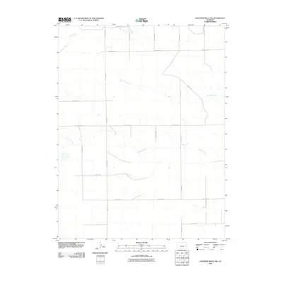
2010 Map of Cheyenne Wells NW
USGS Topo · Published 2010About this map
The Smoky Hill River meanders across this high plains landscape of Cheyenne County, joined by ephemeral drainage systems including Big Timber Creek and Rock Creek. This section of eastern Colorado is defined by a rigid grid of rural transport, where thoroughfares like County Rd 38 and County Road Z serve the sprawling agricultural and ranching parcels of the region. The drainage patterns of the river system contrast with the straight lines of the surveyor’s section roads, illustrating how the natural topography of the watershed dictates the occasional deviation of routes like County Rd 42. For researchers or locals, the map provides a precise record of the early 21st-century rural infrastructure and the specific watercourses that have historically sustained life in this semi-arid environment.
Find a feature on this map
17 named features on this map. Tap any name to fly to it.
Don’t see what you’re looking for? This feature index may not catch every label — zoom into the map to look around manually.
Map Details
Editions of this 2010 Cheyenne Wells NW Map
This is the sole edition of this map. No revisions or reprints were ever made.
Other maps of this area

1891 · Kit Carson
USGS Topo · 1:125,000

1892 · Cheyenne Wells
USGS Topo · 1:125,000

1893 · Kit Carson
USGS Topo · 1:125,000

1894 · Cheyenne Wells
USGS Topo · 1:125,000

1954 · Limon
USGS Topo · 1:250,000

1954 · Lamar
USGS Topo · 1:250,000

1957 · Limon
USGS Topo · 1:250,000

1958 · Limon
USGS Topo · 1:250,000

1958 · Lamar
USGS Topo · 1:250,000

1969 · Burlington 3 SE
USGS Topo · 1:24,000