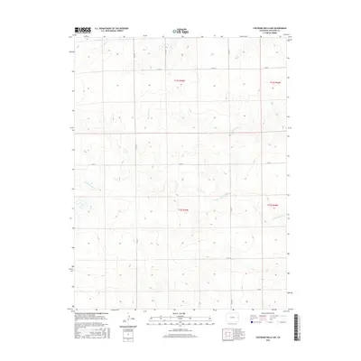
2016 Map of Cheyenne Wells NW
USGS Topo · Published 2016About this map
Smoky Hill River winds across the central portion of this High Plains landscape, accompanied by the drainage systems of Big Timber Cr and Rock Cr. This area of Cheyenne County is defined by its organized grid of rural roads, including Co RD 38, Co RD 41, and Co RD Z, which follow the Public Land Survey System boundaries across townships t12s r45w and t13s r45w. The terrain is marked by subtle elevation changes and seasonal watercourses, illustrating the traditional ranching and agricultural framework of Eastern Colorado. While primarily open country, the map documents the essential infrastructure of the region, from the county road network to the precise township and range demarcations that have governed land ownership since the nineteenth century.
Find a feature on this map
14 named features on this map. Tap any name to fly to it.
Don’t see what you’re looking for? This feature index may not catch every label — zoom into the map to look around manually.
Map Details
Editions of this 2016 Cheyenne Wells NW Map
This is the sole edition of this map. No revisions or reprints were ever made.
Other maps of this area

1891 · Kit Carson
USGS Topo · 1:125,000

1892 · Cheyenne Wells
USGS Topo · 1:125,000

1893 · Kit Carson
USGS Topo · 1:125,000

1894 · Cheyenne Wells
USGS Topo · 1:125,000

1954 · Limon
USGS Topo · 1:250,000

1954 · Lamar
USGS Topo · 1:250,000

1957 · Limon
USGS Topo · 1:250,000

1958 · Limon
USGS Topo · 1:250,000

1958 · Lamar
USGS Topo · 1:250,000

1969 · Burlington 3 SE
USGS Topo · 1:24,000