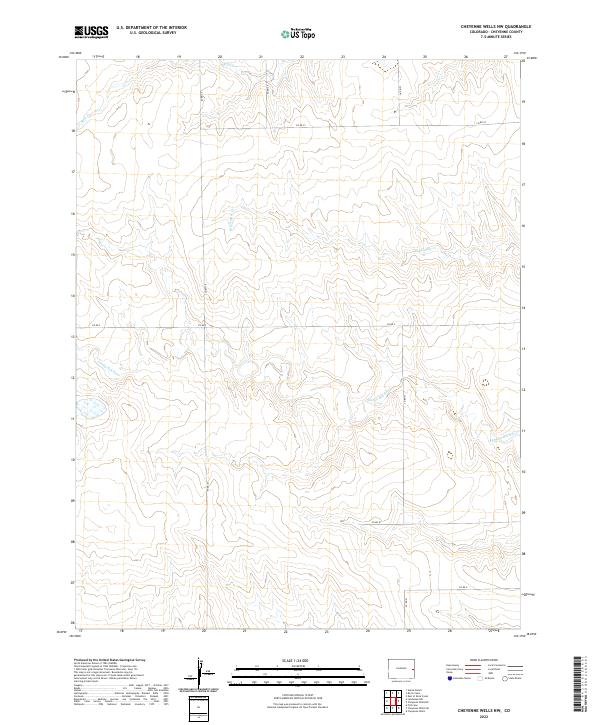
2022 Map of Cheyenne Wells NW
USGS Topo · Published 2022About this map
The Smoky Hill River winds across the southern reaches of this landscape, carving a wide valley through the high plains of Cheyenne County. This 2022 survey captures the modern grid of the Public Land Survey System, defined here by the intersection of T12S, T13S, R44W, and R45W. The terrain is defined by intermittent drainage systems including Big Timber Cr and Rock Cr, which feed toward the primary river valley. A sparse network of maintained county routes, such as Co RD 41 and Co RD CC, provides the only infrastructure across these expansive sections of rangeland. The absence of concentrated settlements highlights the vast, open character of this part of eastern Colorado, where the landscape remains dedicated to large-scale agriculture and ranching operations.
Find a feature on this map
14 named features on this map. Tap any name to fly to it.
Don’t see what you’re looking for? This feature index may not catch every label — zoom into the map to look around manually.
Map Details
Editions of this 2022 Cheyenne Wells NW Map
This is the sole edition of this map. No revisions or reprints were ever made.
Other maps of this area

1891 · Kit Carson
USGS Topo · 1:125,000

1892 · Cheyenne Wells
USGS Topo · 1:125,000

1893 · Kit Carson
USGS Topo · 1:125,000

1894 · Cheyenne Wells
USGS Topo · 1:125,000

1954 · Limon
USGS Topo · 1:250,000

1954 · Lamar
USGS Topo · 1:250,000

1957 · Limon
USGS Topo · 1:250,000

1958 · Limon
USGS Topo · 1:250,000

1958 · Lamar
USGS Topo · 1:250,000

1969 · Burlington 3 SE
USGS Topo · 1:24,000