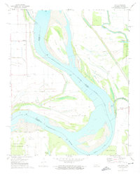
1972 Map of Chic
USGS Topo · Published 1975About this map
The Mississippi River dominates this early 1970s landscape where the borders of Tennessee and Arkansas meet along shifting currents and engineered channels. The presence of the Needham Cutoff and Tamm Bend reflects the ongoing effort to manage the river's path, creating distinct landforms like Wrights Point and Island No. 21. Small riverside settlements and landings serve as focal points for local history, including Hickman Landing and the community of Hales Point.
Find a feature on this map
30 named features on this map. Tap any name to fly to it.
Don’t see what you’re looking for? This feature index may not catch every label — zoom into the map to look around manually.
Map Details
Editions of this 1972 Chic Map
2 editions found
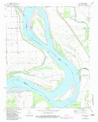
Other maps of this area

1939 · Hales Point
USGS Topo · 1:62,500

1939 · Caruthersville
USGS Topo · 1:62,500

1939 · Blytheville
USGS Topo · 1:62,500

1940 · Hayti
USGS Topo · 1:62,500

1951 · Caruthersville
USGS Topo · 1:62,500

1952 · Hales Point
USGS Topo · 1:62,500

1955 · Hayti
USGS Topo · 1:62,500

1955 · Blytheville
USGS Topo · 1:62,500

1956 · Dyersburg
USGS Topo · 1:250,000

1956 · Blytheville
USGS Topo · 1:250,000