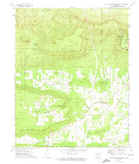
1972 Map of Chickalah Mountain East
USGS Topo · Published 1974About this map
Chickalah Mountain and the surrounding valley floor characterize this 1972 topographical study of the Arkansas interior. The landscape is defined by the dramatic escarpments of North Bluff and South Bluff, creating a natural corridor for small agricultural settlements like Chickalah and Ranger. These communities are anchored by local landmarks such as Chickalah Mountain Ch and several family burying grounds, including Mountain Spring Cem and Hale Cem.
Find a feature on this map
49 named features on this map. Tap any name to fly to it.
Don’t see what you’re looking for? This feature index may not catch every label — zoom into the map to look around manually.
Map Details
Editions of this 1972 Chickalah Mountain East Map
2 editions found
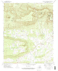
Other maps of this area

1888 · Dardanelle #4
USGS Topo · 1:62,500

1888 · Dardanelle #2
USGS Topo · 1:62,500

1888 · Dardanelle #1
USGS Topo · 1:62,500

1888 · Dardanelle #3
USGS Topo · 1:62,500

1890 · Dardanelle
USGS Topo · 1:125,000

1956 · Russellville
USGS Topo · 1:250,000
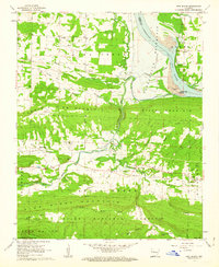
1962 · New Blaine
USGS Topo · 1:24,000

1962 · Delaware
USGS Topo · 1:24,000
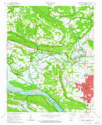
1963 · Russellville West
USGS Topo · 1:24,000

1964 · Russellville
USGS Topo · 1:250,000