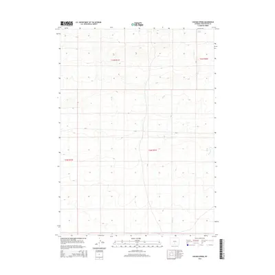
2015 Map of Chicken Spring
USGS Topo · Published 2015About this map
Chicken Spring defines the remote high-desert topography of this portion of Sweetwater County, where the Continental Divide basin terrain is marked by seasonal drainages and vast township divisions. The landscape is primarily defined by the movement of water through ephemeral courses like Spring Cr and Stewart Cr, which carve through the arid basins typical of south-central Wyoming. Human infrastructure is sparse, limited to the crossing of CR-63, providing a rare point of access through the section lines of t25n r91w and t24n r91w. This survey highlights the intersection of public land survey system grids and the natural hydrology that sustains the local environment.
Find a feature on this map
8 named features on this map. Tap any name to fly to it.
Don’t see what you’re looking for? This feature index may not catch every label — zoom into the map to look around manually.
Map Details
Editions of this 2015 Chicken Spring Map
This is the sole edition of this map. No revisions or reprints were ever made.
Other maps of this area

1954 · Rawlins
USGS Topo · 1:250,000

1955 · Casper
USGS Topo · 1:250,000

1958 · Rawlins
USGS Topo · 1:250,000

1958 · Casper
USGS Topo · 1:250,000

1960 · Hansen Lake NE
USGS Topo · 1:24,000

1960 · Sooner Reservoir
USGS Topo · 1:24,000

1960 · Larsen Knoll
USGS Topo · 1:24,000

1960 · Bull Springs
USGS Topo · 1:24,000

1960 · Buck Draw
USGS Topo · 1:24,000

1960 · Chicken Spring
USGS Topo · 1:24,000