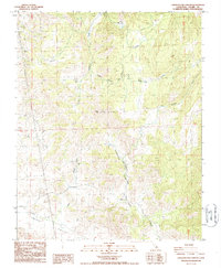
1986 Map of Chickencoop Canyon
USGS Topo · Published 1987About this map
Yokohl Valley and the surrounding Tulare County highlands are defined by a network of seasonal watercourses and upland grazing flats in this mid-1980s provisional study. The landscape is marked by land-use patterns typical of California’s Sierra foothills, where high-elevation cattle ranching and early mineral exploration left their mark. Notable human imprints include Hinds Cabin and the presence of numerous Prospects and a singular Prospect scattered across the ridgelines.
Find a feature on this map
23 named features on this map. Tap any name to fly to it.
Don’t see what you’re looking for? This feature index may not catch every label — zoom into the map to look around manually.
Map Details
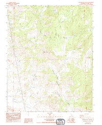
Editions of this 1986 Chickencoop Canyon Map
2 editions found
Other maps of this area

1904 · Kaweah
USGS Topo · 1:125,000

1909 · Kaweah
USGS Topo · 1:125,000

1925 · Rocky Hill
USGS Topo · 1:31,680

1927 · Rocky Hill
USGS Topo · 1:31,680

1928 · Lemon Cove
USGS Topo · 1:31,680

1928 · Lindsay
USGS Topo · 1:31,680

1937 · Kaweah
USGS Topo · 1:125,000
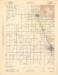
1942 · Porterville
USGS Topo · 1:62,500

1948 · Fresno
USGS Topo · 1:250,000
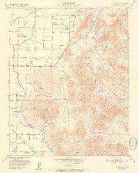
1951 · Rocky Hill
USGS Topo · 1:24,000