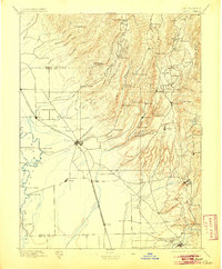
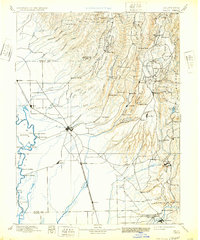
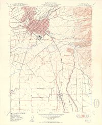
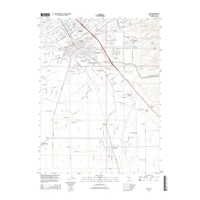
1895 Map of Chico
USGS Topo · Published 1905About this map
Chico serves as the central hub of this late-19th-century landscape, where the flat valley floor meets the rising Sierra Nevada foothills. The transit corridors of the Southern Pacific R. R. and the San Francisco and Portland Line define the agricultural lowlands, while the canyons to the east are carved by Big Chico Creek and Butte Creek. This terrain is dotted with early industry, particularly timber and milling operations like Keefer's Mill and Hupps Mill.
Find a feature on this map
121 named features on this map. Tap any name to fly to it.
Don’t see what you’re looking for? This feature index may not catch every label — zoom into the map to look around manually.
Map Details
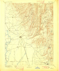
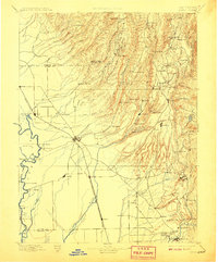
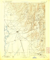
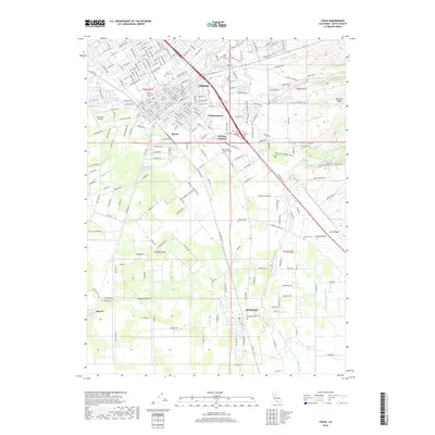
Editions of this 1895 Chico Map
8 editions found

Historical Maps of Chico Through Time
13 maps found

1891 Chico
Butte County, CA

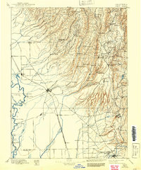
1893 Chico
Butte County, CA
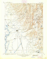
1895 Chico
Butte County, CA
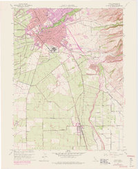
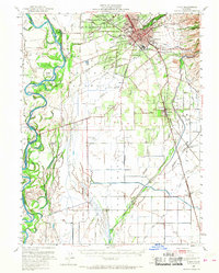
1948 Chico
Butte County, CA
1949 Chico
Butte County, CA
1950 Chico
Butte County, CA
1958 Chico
Butte County, CA

1960 Chico
Butte County, CA

1980 Chico
Butte County, CA
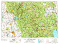
2012 Chico
Butte County, CA
2015 Chico
Butte County, CA
2018 Chico
Butte County, CA
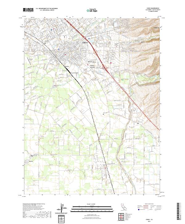
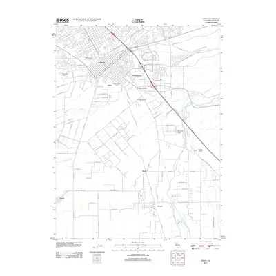
2021 Chico
Butte County, CA