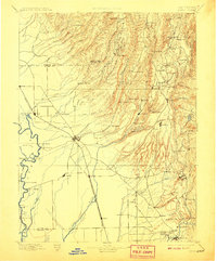
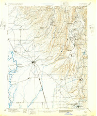
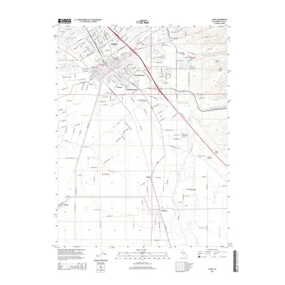
1895 Map of Chico
USGS Topo · Published 1908About this map
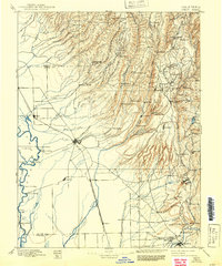
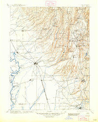
Chico serves as the central hub of this late-nineteenth-century landscape, where the agricultural plains of the Sacramento Valley meet the rising foothills of the Sierra Nevada. The map documents a critical period of development driven by water and timber, visible through the numerous mills such as Keefer's Old Mill, Hupps Mill, and Doons Mill scattered along the mountain creeks. To the west, the Sacramento River is lined with active landings including Chico Landing, Parrot Landing, and Sidd Landing, marking the vital river trade that supported early Butte County.
Find a feature on this map
86 named features on this map. Tap any name to fly to it.
Don’t see what you’re looking for? This feature index may not catch every label — zoom into the map to look around manually.
Map Details
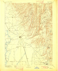
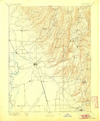
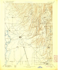
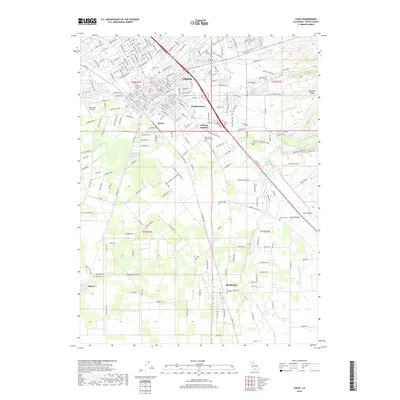
Editions of this 1895 Chico Map
8 editions found

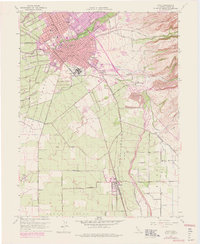
Historical Maps of Chico Through Time
13 maps found

1891 Chico
Butte County, CA

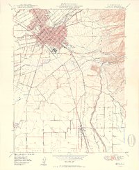
1893 Chico
Butte County, CA
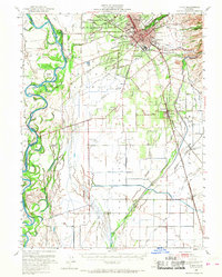
1895 Chico
Butte County, CA
1948 Chico
Butte County, CA
1949 Chico
Butte County, CA
1950 Chico
Butte County, CA
1958 Chico
Butte County, CA

1960 Chico
Butte County, CA

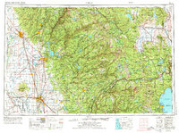
1980 Chico
Butte County, CA
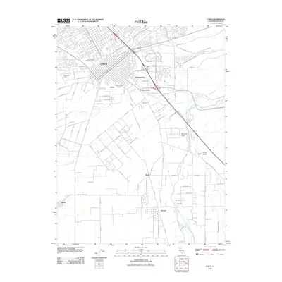
2012 Chico
Butte County, CA
2015 Chico
Butte County, CA
2018 Chico
Butte County, CA
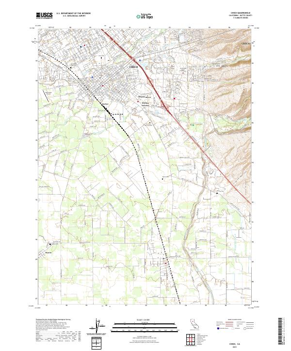
2021 Chico
Butte County, CA