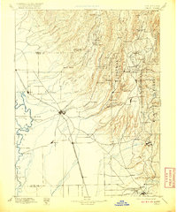
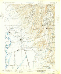
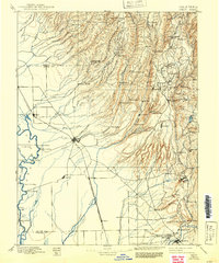
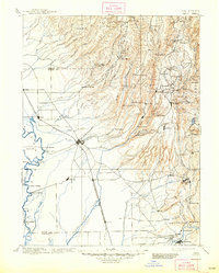
1895 Map of Chico
USGS Topo · Published 1920About this map
The Sacramento River defines the western edge of this territory, where numerous landings like Chico Landing and Dayton Landing facilitated trade before the expansion of the Southern Pacific and San Francisco and Portland Line railroads. The town of Chico sits as a central hub, while the terrain dramatically rises to the east into the Plumas National Forest. This transition from the flat agricultural valley to the timber-rich foothills is marked by a concentration of early industrial activity, including Keefers Old Mill and Hupps Mill.
Find a feature on this map
121 named features on this map. Tap any name to fly to it.
Don’t see what you’re looking for? This feature index may not catch every label — zoom into the map to look around manually.
Map Details
Editions of this 1895 Chico Map
8 editions found

Other maps of this area

1886 · Lassen Peak
USGS Topo · 1:250,000

1888 · Marysville
USGS Topo · 1:125,000

1888 · Smartsville
USGS Topo · 1:125,000

1888 · Bidwell Bar
USGS Topo · 1:125,000

1890 · Red Bluff
USGS Topo · 1:250,000

1891 · Bidwell Bar
USGS Topo · 1:125,000

1891 · Chico
USGS Topo · 1:125,000

1891 · Marysville
USGS Topo · 1:125,000

1891 · Smartsville
USGS Topo · 1:125,000

1892 · Lassen Peak
USGS Topo · 1:250,000