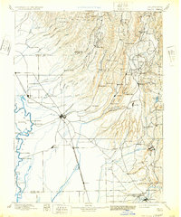
1895 Map of Chico
USGS Topo · Published 1932About this map
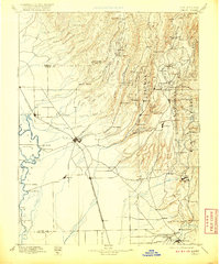
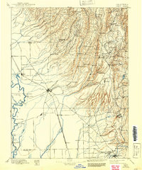
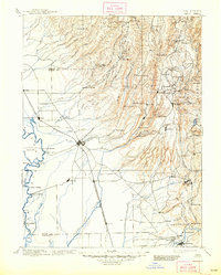
Big Chico Creek and the Feather River define this late 19th-century landscape where agricultural valley plains meet the ascending Sierra Nevada foothills. The region's transport network shows a clear transition from river-based transit at Chico Landing and Dayton Landing to the inland dominance of the Southern Pacific R. R. and the San Francisco and Portland Line. In the higher elevations, a network of resource-extraction and support sites is evident, including the Lucretia Mine and timber-related sites like Keefers Mill. Named landmarks such as 14 M. House and 10 mile House along the Humboldt Road suggest the slow pace of mountain travel before the advent of modern highways. The northern boundary with Lassen National Forest underscores the wilder, higher-altitude terrain that rises toward Promontory Point.
Find a feature on this map
129 named features on this map. Tap any name to fly to it.
Don’t see what you’re looking for? This feature index may not catch every label — zoom into the map to look around manually.
Map Details
Editions of this 1895 Chico Map
8 editions found

Other maps of this area

1886 · Lassen Peak
USGS Topo · 1:250,000

1888 · Marysville
USGS Topo · 1:125,000

1888 · Smartsville
USGS Topo · 1:125,000

1888 · Bidwell Bar
USGS Topo · 1:125,000

1890 · Red Bluff
USGS Topo · 1:250,000

1891 · Bidwell Bar
USGS Topo · 1:125,000

1891 · Chico
USGS Topo · 1:125,000

1891 · Marysville
USGS Topo · 1:125,000

1891 · Smartsville
USGS Topo · 1:125,000

1892 · Lassen Peak
USGS Topo · 1:250,000