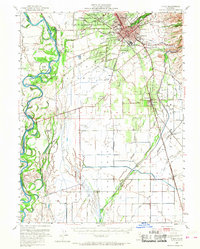
1949 Map of Chico
USGS Topo · Published 1968About this map
Chico and its surrounding agricultural valley appear in high detail during the late 1940s, a period of established irrigation and rail-dependent industry. The town center is anchored by Chico State College and is surrounded by distinct neighborhoods like Chapmantown and Barber, where a Match Factory stands near the Southern Pacific tracks. Outside the city limits, the landscape transitions into a complex network of orchards and fields, managed by an intricate system of water features including the Glenn-Colusa Canal, Western Canal, and numerous sloughs like Kusal Slough.
Find a feature on this map
91 named features on this map. Tap any name to fly to it.
Don’t see what you’re looking for? This feature index may not catch every label — zoom into the map to look around manually.
Map Details
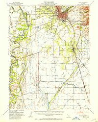
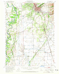
Editions of this 1949 Chico Map
3 editions found
Other maps of this area

1888 · Marysville
USGS Topo · 1:125,000

1891 · Chico
USGS Topo · 1:125,000

1891 · Marysville
USGS Topo · 1:125,000

1893 · Chico
USGS Topo · 1:125,000

1894 · Marysville
USGS Topo · 1:125,000

1895 · Marysville
USGS Topo · 1:125,000

1895 · Chico
USGS Topo · 1:125,000

1904 · Vina
USGS Topo · 1:62,500

1906 · Maxwell
USGS Topo · 1:62,500

1906 · Willows
USGS Topo · 1:62,500