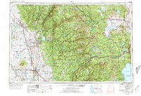
1958 Map of Chico
USGS Topo · Published 1973About this map
The Sacramento Valley floor meets the soaring heights of the Sierra Nevada and Cascade Range in this comprehensive mid-century survey. Dramatic volcanic features like the Sutter Buttes, including South Butte, rise sharply from the flat agricultural lands of the Sacramento River basin. The map documents an extensive hydraulic landscape of irrigation, featuring the Cherokee Canal, Butte Slough, and the Sutter Bypass.
Find a feature on this map
306 named features on this map. Tap any name to fly to it.
Don’t see what you’re looking for? This feature index may not catch every label — zoom into the map to look around manually.
Map Details
Editions of this 1958 Chico Map
4 editions found

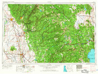
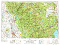
Other maps of this area

1886 · Honey Lake
USGS Topo · 1:250,000

1886 · Lassen Peak
USGS Topo · 1:250,000

1886 · Granite Range
USGS Topo · 1:250,000

1888 · Marysville
USGS Topo · 1:125,000

1888 · Smartsville
USGS Topo · 1:125,000

1888 · Bidwell Bar
USGS Topo · 1:125,000

1889 · Pyramid Peak
USGS Topo · 1:125,000

1889 · Markleeville
USGS Topo · 1:125,000

1890 · Red Bluff
USGS Topo · 1:250,000

1890 · Sierraville
USGS Topo · 1:125,000