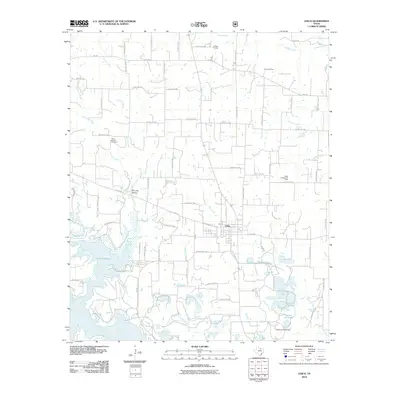
2010 Map of Chico
USGS Topo · Published 2010About this map
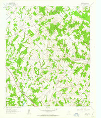
Chico sits at the center of this rural landscape, defined by a network of drainage systems and significant energy infrastructure. The map reveals a transition from the western reaches of Lake Bridgeport toward the undulating terrain of Doc Gan Hollow. To the north and east, the industrial character of Wise County is clear through the extensive footprints of the Alvord Oil Field and the Miles Jackson Oil Field, illustrating the region's reliance on mineral extraction.
Find a feature on this map
67 named features on this map. Tap any name to fly to it.
Don’t see what you’re looking for? This feature index may not catch every label — zoom into the map to look around manually.
Map Details
Editions of this 2010 Chico Map
This is the sole edition of this map. No revisions or reprints were ever made.
Other maps of this area
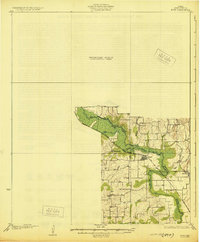
1930 · Boyd
USGS Topo · 1:62,500

1954 · Sherman
USGS Topo · 1:250,000

1958 · Sherman
USGS Topo · 1:250,000
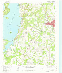
1960 · Bridgeport West
USGS Topo · 1:24,000
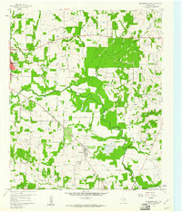
1960 · Bridgeport East
USGS Topo · 1:24,000
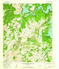
1960 · Wizard Wells
USGS Topo · 1:24,000
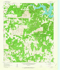
1961 · Selma
USGS Topo · 1:24,000
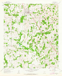
1961 · Alvord
USGS Topo · 1:24,000
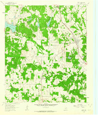
1961 · Sunset
USGS Topo · 1:24,000
1961 · Smyrna
USGS Topo · 1:24,000