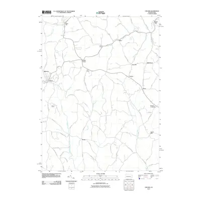
2010 Map of Chicora
USGS Topo · Published 2010About this map
Chicora and Millerstown anchor the western edge of this landscape, where the headwaters of Buffalo Creek and Sugar Creek carve into the plateau. The map reveals a dense network of rural settlements connected by winding township roads and state routes, including Karns City in the north and the clustered valley communities of Kaylor and Kaylor Bridge. The geography is defined by a series of north-south running streams, such as Buffalo Run and Patterson Creek, which have influenced the placement of longstanding crossroads like Kepples Corners and Rattigan.
Find a feature on this map
82 named features on this map. Tap any name to fly to it.
Don’t see what you’re looking for? This feature index may not catch every label — zoom into the map to look around manually.
Map Details
Editions of this 2010 Chicora Map
This is the sole edition of this map. No revisions or reprints were ever made.
Other maps of this area

1900 · Kittanning
USGS Topo · 1:62,500

1902 · Kittanning
USGS Topo · 1:62,500

1907 · Foxburg
USGS Topo · 1:62,500

1908 · Foxburg
USGS Topo · 1:62,500

1909 · Butler
USGS Topo · 1:62,500

1910 · Hilliards
USGS Topo · 1:62,500

1911 · Butler
USGS Topo · 1:62,500

1912 · Hilliards
USGS Topo · 1:62,500

1944 · Hilliards
USGS Topo · 1:62,500

1953 · Pittsburgh
USGS Topo · 1:250,000