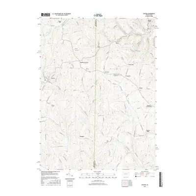
2016 Map of Chicora
USGS Topo · Published 2016About this map
Chicora and Karns City anchor the western portion of this Butler County landscape, where the terrain is deeply etched by Buffalo Creek and its many tributaries. The map documents a rural transition zone defined by small, historically significant settlements like Rattigan, Frogtown, and Kaylor, many of which follow the winding paths of Buffalo Run and Patterson Cr. In the northeastern corner, the sharp descent toward Bradys Bend reveals the elevation changes typical of the Allegheny Plateau as it approaches the river valley.
Find a feature on this map
84 named features on this map. Tap any name to fly to it.
Don’t see what you’re looking for? This feature index may not catch every label — zoom into the map to look around manually.
Map Details
Editions of this 2016 Chicora Map
This is the sole edition of this map. No revisions or reprints were ever made.
Other maps of this area

1900 · Kittanning
USGS Topo · 1:62,500

1902 · Kittanning
USGS Topo · 1:62,500

1907 · Foxburg
USGS Topo · 1:62,500

1908 · Foxburg
USGS Topo · 1:62,500

1909 · Butler
USGS Topo · 1:62,500

1910 · Hilliards
USGS Topo · 1:62,500

1911 · Butler
USGS Topo · 1:62,500

1912 · Hilliards
USGS Topo · 1:62,500

1944 · Hilliards
USGS Topo · 1:62,500

1953 · Pittsburgh
USGS Topo · 1:250,000