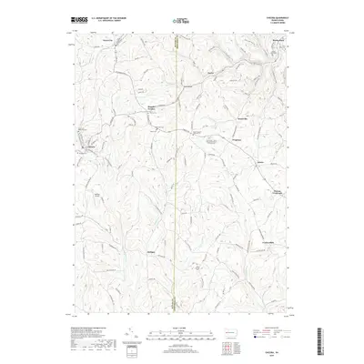
2019 Map of Chicora
USGS Topo · Published 2019About this map
Chicora and the surrounding Butler County highlands are characterized by a network of steep-sided valleys carved by Buffalo Creek, Sugar Creek, and Patterson Creek. The region is dotted with historic settlements like Karns City, Kaylor, and Bradys Bend, reflecting a long-standing pattern of ridge-and-valley habitation. Genealogists will find a wealth of data across several rural burial grounds, including the Saint Patricks Cem and the Oak Grove / Saint Pauls United Church of Christ Cem. The landscape is tied together by arterial routes such as Kittanning Pike and Chicora Road, which connect the small crossroads communities and family-named locations like Kepples Corners and Browns Crossroads. Industrial and aviation history are represented by the presence of Waltman Airport, while the remote corners of the map maintain their rural character near Fosters Mills and Rattigan.
Find a feature on this map
99 named features on this map. Tap any name to fly to it.
Don’t see what you’re looking for? This feature index may not catch every label — zoom into the map to look around manually.
Map Details
Editions of this 2019 Chicora Map
This is the sole edition of this map. No revisions or reprints were ever made.
Other maps of this area

1900 · Kittanning
USGS Topo · 1:62,500

1902 · Kittanning
USGS Topo · 1:62,500

1907 · Foxburg
USGS Topo · 1:62,500

1908 · Foxburg
USGS Topo · 1:62,500

1909 · Butler
USGS Topo · 1:62,500

1910 · Hilliards
USGS Topo · 1:62,500

1911 · Butler
USGS Topo · 1:62,500

1912 · Hilliards
USGS Topo · 1:62,500

1944 · Hilliards
USGS Topo · 1:62,500

1953 · Pittsburgh
USGS Topo · 1:250,000