2023 Map of Chicora
USGS Topo · Published 2023About this map
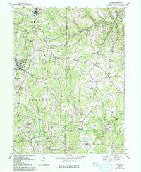
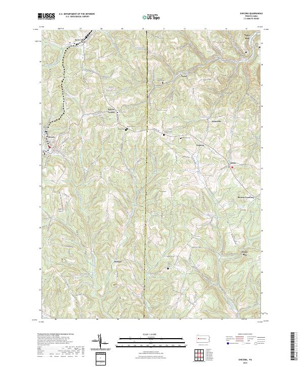
Chicora and its neighboring communities are defined by the winding drainages of the Buffalo Creek and Sugar Creek systems, which cut through the high plateaus along the Butler and Armstrong county line. This 2023 survey documents the enduring layout of the region's crossroads settlements, including Karns City, Kaylor, and Rattigan. The landscape is heavily marked by its local heritage, evidenced by a high density of small cemeteries such as Hemphill Cem and White Oak Cem, often located on ridges or near rural junctions like Kepples Corners.
Find a feature on this map
105 named features on this map. Tap any name to fly to it.
Don’t see what you’re looking for? This feature index may not catch every label — zoom into the map to look around manually.
Map Details
Editions of this 2023 Chicora Map
This is the sole edition of this map. No revisions or reprints were ever made.