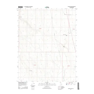
2015 Map of Chidago Canyon
USGS Topo · Published 2015About this map
Chalfant Valley and the neighboring Hammil Valley occupy the eastern portion of this Mono County landscape, where the alluvial floor meets the base of the mountain front. The terrain is defined by the striking contrast between the flat valley reaches and the elevated Volcanic Tableland to the west. This area is a network of drainage and ancient geology, featuring the prominent Chidago Canyon and the riparian corridor of Fish Slough, which runs nearly the entire length of the quadrangle north to south.
Find a feature on this map
15 named features on this map. Tap any name to fly to it.
Don’t see what you’re looking for? This feature index may not catch every label — zoom into the map to look around manually.
Map Details
Editions of this 2015 Chidago Canyon Map
This is the sole edition of this map. No revisions or reprints were ever made.
Other maps of this area

1912 · Mt. Goddard
USGS Topo · 1:125,000

1913 · Bishop
USGS Topo · 1:125,000

1914 · Mt. Morrison
USGS Topo · 1:125,000

1917 · White Mountain
USGS Topo · 1:125,000

1947 · Mariposa
USGS Topo · 1:250,000

1948 · Mariposa
USGS Topo · 1:250,000

1949 · Mt. Tom
USGS Topo · 1:62,500

1949 · Bishop
USGS Topo · 1:62,500

1951 · Mt. Tom
USGS Topo · 1:62,500

1951 · Bishop
USGS Topo · 1:62,500