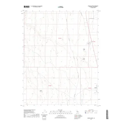
2018 Map of Chidago Canyon
USGS Topo · Published 2018About this map
Volcanic Tableland dominates the western portion of this Mono County landscape, characterized by dramatic elevation shifts and prehistoric markers. In the late 2010s, this area reflects a sparse but enduring desert settlement pattern focused along the edges of the basins. Chalfant Valley and Hammil Valley provide the primary residential anchors, with Chalfant serving as a small community hub near the junction of Chalfant Rd and Lisa Ln.
Find a feature on this map
18 named features on this map. Tap any name to fly to it.
Don’t see what you’re looking for? This feature index may not catch every label — zoom into the map to look around manually.
Map Details
Editions of this 2018 Chidago Canyon Map
This is the sole edition of this map. No revisions or reprints were ever made.
Other maps of this area

1912 · Mt. Goddard
USGS Topo · 1:125,000

1913 · Bishop
USGS Topo · 1:125,000

1914 · Mt. Morrison
USGS Topo · 1:125,000

1917 · White Mountain
USGS Topo · 1:125,000

1947 · Mariposa
USGS Topo · 1:250,000

1948 · Mariposa
USGS Topo · 1:250,000

1949 · Mt. Tom
USGS Topo · 1:62,500

1949 · Bishop
USGS Topo · 1:62,500

1951 · Mt. Tom
USGS Topo · 1:62,500

1951 · Bishop
USGS Topo · 1:62,500