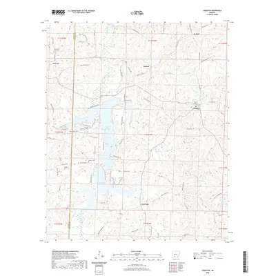
2020 Map of Chidester
USGS Topo · Published 2020About this map
Lower White Oak Lake and Upper White Oak Lake dominate the central landscape of this Arkansas region, bordered by the communities of Chidester and Bluff City. The topography is defined by numerous drainage systems including Panther Br, Bragg Mill Cr, and Poison Springs Br, which carve through the terrain of Ouachita and Nevada counties. This 2020 map documents a network of local roads and recreational trails, such as the Coastal Plain Trail and Fern Hollow Trail, that weave through the woodlands surrounding the lakes.
Find a feature on this map
93 named features on this map. Tap any name to fly to it.
Don’t see what you’re looking for? This feature index may not catch every label — zoom into the map to look around manually.
Map Details
Editions of this 2020 Chidester Map
This is the sole edition of this map. No revisions or reprints were ever made.
Other maps of this area

1901 · Gurdon
USGS Topo · 1:125,000

1903 · Camden
USGS Topo · 1:125,000

1953 · El Dorado
USGS Topo · 1:250,000

1957 · El Dorado
USGS Topo · 1:250,000

1958 · El Dorado
USGS Topo · 1:250,000

1960 · El Dorado
USGS Topo · 1:250,000

1970 · Whelen Springs
USGS Topo · 1:24,000

1970 · Reader
USGS Topo · 1:24,000

1971 · Tates Bluff
USGS Topo · 1:24,000
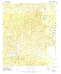
1971 · Bragg City
USGS Topo · 1:24,000