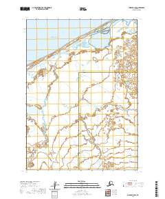
2020 Map of Chignik C-5 NW
USGS Topo · Published 2020About this map
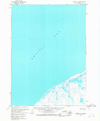
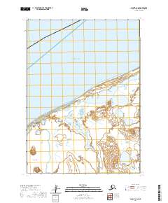
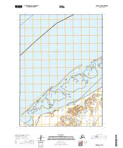
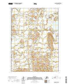
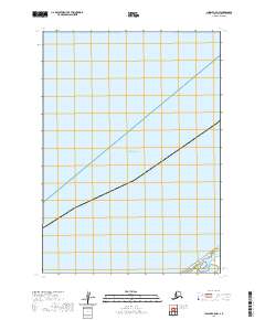
Bristol Bay dominates this maritime survey, illustrating the vast expanse of open water along the Alaska Peninsula. The cartography focuses primarily on the hydrographic boundary where the bay meets the Aleutians East Borough, providing a clear visualization of the offshore environment and the Public Land Survey System (PLSS) maritime extensions. Surveyed township boundaries, including t40s r64w, t41s r65w, and t41s r66w, provide a rare look at the grid system as it is projected over the sea, an essential reference for maritime navigation and legal jurisdiction in these northern waters. This specific sheet offers a stark perspective on the geographic isolation and the immense scale of the bay before reaching the rugged coastline of the mainland.
Find a feature on this map
4 named features on this map. Tap any name to fly to it.
Don’t see what you’re looking for? This feature index may not catch every label — zoom into the map to look around manually.
Map Details
Editions of this 2020 Chignik C-5 NW Map
This is the sole edition of this map. No revisions or reprints were ever made.