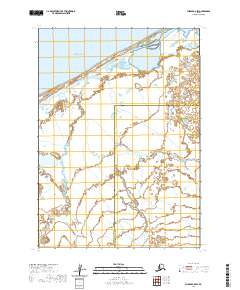
2020 Map of Chignik C-5 SW
USGS Topo · Published 2020About this map
Bristol Bay defines the northern coastline of this remote coastal landscape, where the tides meet a network of low-lying wetlands and wandering waterways. The Alaska Peninsula terrain here is characterized by the complex drainage of the Ilnik River, which winds from Ilnik Lake toward the sea, joined by smaller tributaries like Fog Cr. This 2020 survey documents a transition zone between the Aleutians East Borough and Lake and Peninsula Borough, providing a snapshot of the region's hydrography and jurisdictional boundaries before any modern industrial footprint. The map captures the raw intersection of freshwater systems and the saltwater coast, where the shifting sands and seasonal water levels dictate the movement across the tundra.
Find a feature on this map
10 named features on this map. Tap any name to fly to it.
Don’t see what you’re looking for? This feature index may not catch every label — zoom into the map to look around manually.
Map Details
Editions of this 2020 Chignik C-5 SW Map
This is the sole edition of this map. No revisions or reprints were ever made.
Other maps of this area

1963 · Chignik B-5
USGS Topo · 1:63,360

1963 · Chignik B-6
USGS Topo · 1:63,360
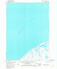
1963 · Chignik C-6
USGS Topo · 1:63,360

1963 · Chignik C-5
USGS Topo · 1:63,360

1963 · Chignik
USGS Topo · 1:250,000
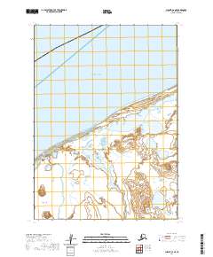
2020 · Chignik C-6 SE
USGS Topo · 1:25,000
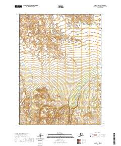
2020 · Chignik B-5 NE
USGS Topo · 1:25,000
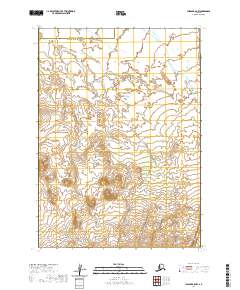
2020 · Chignik B-5 NW
USGS Topo · 1:25,000
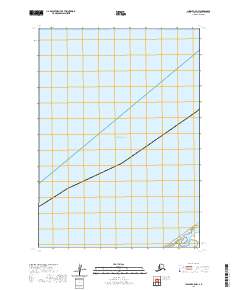
2020 · Chignik C-5 NW
USGS Topo · 1:25,000
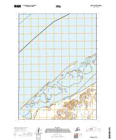
2020 · Chignik C-5 NE
USGS Topo · 1:25,000