
1950 Map of Chilcoot
USGS Topo · Published 1952About this map
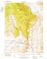
Beckwourth Pass serves as the focal point of this 1950s terrain study, marking a critical low-elevation gateway through the Sierra Nevada. The landscape is defined by the sharp transition between the high peaks of Dixie Mountain and the broad, arid expanse of Honey Lake Valley to the northeast. Transportation corridors dictate the settlement patterns here, with the Western Pacific railroad and early highways converging at junctions like Reno Junction and Hallelujah Junction. Along the southern reaches, the Middle Fork Feather River winds through the valley floor near the community of Vinton. Cultural landmarks of the era are sparse but significant, including the Summit Sch and a local Cem near the town of Chilcoot. The map also documents the industrial presence of a Shaft and the natural boundaries of the State Game Refuge within the Plumas National Forest.
Find a feature on this map
29 named features on this map. Tap any name to fly to it.
Don’t see what you’re looking for? This feature index may not catch every label — zoom into the map to look around manually.
Map Details
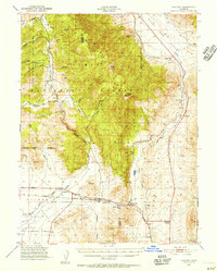
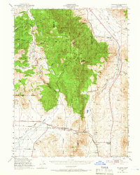
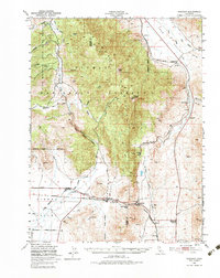
Editions of this 1950 Chilcoot Map
5 editions found
Other maps of this area

1886 · Honey Lake
USGS Topo · 1:250,000

1886 · Granite Range
USGS Topo · 1:250,000

1890 · Sierraville
USGS Topo · 1:125,000

1891 · Honey Lake
USGS Topo · 1:250,000

1891 · Reno
USGS Topo · 1:125,000

1892 · Sierraville
USGS Topo · 1:125,000

1893 · Honey Lake
USGS Topo · 1:250,000

1893 · Reno
USGS Topo · 1:125,000

1894 · Granite Range
USGS Topo · 1:250,000

1894 · Sierraville
USGS Topo · 1:125,000