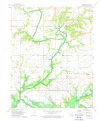
1972 Map of Childers
USGS Topo · Published 1974About this map
The Verdigris River snakes through the center of this 1970s landscape, defining the character of the Nowata County countryside. This era marks a significant hydrological transition as the southern portion of the map is dominated by the rising waters of Oologah Lake, which inundated the lower reaches of California Creek and Stone Lake. The map serves as a vital record for genealogists, preserving the locations of several family and community burial grounds such as Buffalo Cem, Goodtraveler Cem, and Lowrey Cem. Cultural landmarks like Cedar Bluff Ch and the small settlement of Childers sit amidst a terrain marked by resource extraction, evidenced by various Gravel Pits and a Quarry. To the east, distinctive landforms like Steamboat Mound and Rogers Mound rise above the river valley, while the Hancock Bridge provides a critical crossing point at Hancock Bend.
Find a feature on this map
35 named features on this map. Tap any name to fly to it.
Don’t see what you’re looking for? This feature index may not catch every label — zoom into the map to look around manually.
Map Details
Editions of this 1972 Childers Map
2 editions found
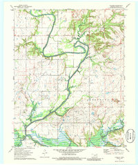
Other maps of this area

1901 · Nowata
USGS Topo · 1:125,000

1901 · Vinita
USGS Topo · 1:125,000

1913 · Vinita
USGS Topo · 1:125,000

1914 · Nowata
USGS Topo · 1:125,000

1954 · Tulsa
USGS Topo · 1:250,000

1958 · Tulsa
USGS Topo · 1:250,000

1963 · Tulsa
USGS Topo · 1:250,000
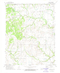
1972 · Elliott
USGS Topo · 1:24,000

1972 · Nowata West
USGS Topo · 1:24,000
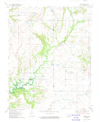
1972 · Sanders
USGS Topo · 1:24,000