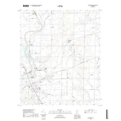
2018 Map of Childersburg
USGS Topo · Published 2018About this map
Childersburg sits at a historic crossroads where the Coosa River and Talladega Creek converge, anchoring a landscape shaped by industrial development and early Alabama history. In this 2018 survey, the town's growth is evident through established neighborhoods like Indian Hill, Grove Park, and Coosa Court, while its industrial identity remains tied to Coosa Pines along the river.
Find a feature on this map
155 named features on this map. Tap any name to fly to it.
Don’t see what you’re looking for? This feature index may not catch every label — zoom into the map to look around manually.
Map Details
Editions of this 2018 Childersburg Map
This is the sole edition of this map. No revisions or reprints were ever made.
Other maps of this area

1890 · Talladega
USGS Topo · 1:125,000

1892 · Talladega
USGS Topo · 1:125,000

1915 · Gantts Quarry
USGS Topo · 1:48,000

1917 · Gantts Quarry
USGS Topo · 1:62,500

1943 · Talladega
USGS Topo · 1:62,500

1944 · Goodwater
USGS Topo · 1:62,500

1946 · Talladega
USGS Topo · 1:62,500

1947 · Goodwater
USGS Topo · 1:62,500

1951 · Vincent
USGS Topo · 1:24,000

1951 · Laniers
USGS Topo · 1:24,000