
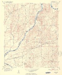
1951 Map of Laniers
USGS Topo · Published 1952About this map
The Coosa River serves as the dominant geographic and jurisdictional boundary through this section of Talladega and St. Clair counties, its course interrupted by Merkl Island, Bell Island, and Elliott Island. The early 1950s landscape is defined by its agrarian and industrial foundations, notably at Coosa Pines and the small settlements of Laniers and Grasmere. The Atlantic Coast Line railroad cuts across the southern portion of the map, providing a vital transportation link that historically connected these rural Alabama communities to larger markets.
Find a feature on this map
41 named features on this map. Tap any name to fly to it.
Don’t see what you’re looking for? This feature index may not catch every label — zoom into the map to look around manually.
Map Details
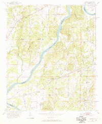
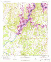
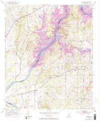
Editions of this 1951 Laniers Map
5 editions found
Other maps of this area

1889 · Springville
USGS Topo · 1:125,000

1890 · Talladega
USGS Topo · 1:125,000

1892 · Springville
USGS Topo · 1:125,000

1892 · Talladega
USGS Topo · 1:125,000

1943 · Talladega
USGS Topo · 1:62,500

1946 · Talladega
USGS Topo · 1:62,500

1947 · Ragland
USGS Topo · 1:62,500

1947 · Riverside
USGS Topo · 1:24,000

1951 · Vincent
USGS Topo · 1:24,000

1953 · Birmingham
USGS Topo · 1:250,000