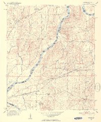
1951 Map of Laniers
USGS Topo · Published 1952About this map
The Coosa River carves a winding path through this early 1950s landscape, defining the county line between St. Clair and Talladega. Large river features like Merkl Island, Grissom Island, and Bell Island sit in the main channel, while the surrounding terrain is marked by prominent ridges such as Stracener Mtn and Allen Mtn. This period shows a rural society organized around small community hubs, many of which are identified by combined educational and spiritual centers like Mt Zion Sch Ch and Kings Chapel Sch Ch.
Find a feature on this map
43 named features on this map. Tap any name to fly to it.
Don’t see what you’re looking for? This feature index may not catch every label — zoom into the map to look around manually.
Map Details
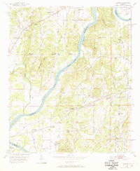
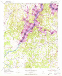
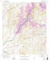
Editions of this 1951 Laniers Map
5 editions found
Other maps of this area

1889 · Springville
USGS Topo · 1:125,000

1890 · Talladega
USGS Topo · 1:125,000

1892 · Springville
USGS Topo · 1:125,000

1892 · Talladega
USGS Topo · 1:125,000

1943 · Talladega
USGS Topo · 1:62,500

1946 · Talladega
USGS Topo · 1:62,500

1947 · Ragland
USGS Topo · 1:62,500

1947 · Riverside
USGS Topo · 1:24,000

1951 · Vincent
USGS Topo · 1:24,000

1951 · Laniers
USGS Topo · 1:24,000