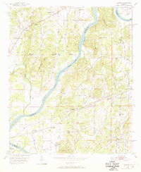
1951 Map of Laniers
USGS Topo · Published 1969About this map
Coosa River winds through this 1951 landscape, serving as a natural boundary between St. Clair, Talladega, and Shelby counties. The river's path is punctuated by several large landmasses, including Merkl Island, Grissom I, and Bell Island, which shaped the local navigation and development of the era. The industrial and transit infrastructure of the mid-century is centered on the Atlantic Coast Line railroad, which services the settlement of Coosa Pines and connects rural hubs like Laniers and Grasmere.
Find a feature on this map
40 named features on this map. Tap any name to fly to it.
Don’t see what you’re looking for? This feature index may not catch every label — zoom into the map to look around manually.
Map Details
Editions of this 1951 Laniers Map
5 editions found
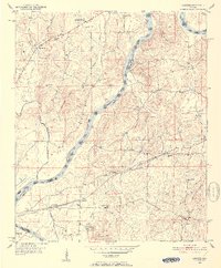
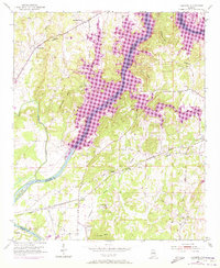
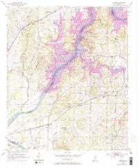
Other maps of this area

1889 · Springville
USGS Topo · 1:125,000

1890 · Talladega
USGS Topo · 1:125,000

1892 · Springville
USGS Topo · 1:125,000

1892 · Talladega
USGS Topo · 1:125,000

1943 · Talladega
USGS Topo · 1:62,500

1946 · Talladega
USGS Topo · 1:62,500

1947 · Ragland
USGS Topo · 1:62,500

1947 · Riverside
USGS Topo · 1:24,000

1951 · Vincent
USGS Topo · 1:24,000

1951 · Laniers
USGS Topo · 1:24,000