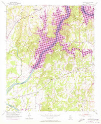
1951 Map of Laniers
USGS Topo · Published 1973About this map
The Coosa River corridor serves as the central artery of this landscape, where the 1970s expansion of Logan Martin Lake dramatically reshaped the shoreline near Logan Martin Dam. This survey documents a rural environment transitioning through water management, featuring several prominent peaks such as Stracener Mtn and Norman Mtn that overlook the river valley. The infrastructure of the Seaboard Coast Line railroad cuts across the southern portion of the map, linking small settlements like Grasmere and Lanier. Local genealogy and community history are well-preserved through numerous landmarked institutions, including Mt Zion Sch, Kings Chapel Sch, and a variety of rural churches such as Evening Star Ch and St Campbell Ch. This specific edition is particularly notable for its purple overprint, which distinguishes established mid-century features from early 1970s developments in the terrain and river heights.
Find a feature on this map
40 named features on this map. Tap any name to fly to it.
Don’t see what you’re looking for? This feature index may not catch every label — zoom into the map to look around manually.
Map Details
Editions of this 1951 Laniers Map
5 editions found
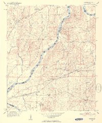
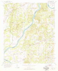
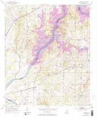
Other maps of this area

1889 · Springville
USGS Topo · 1:125,000

1890 · Talladega
USGS Topo · 1:125,000

1892 · Springville
USGS Topo · 1:125,000

1892 · Talladega
USGS Topo · 1:125,000

1943 · Talladega
USGS Topo · 1:62,500

1946 · Talladega
USGS Topo · 1:62,500

1947 · Ragland
USGS Topo · 1:62,500

1947 · Riverside
USGS Topo · 1:24,000

1951 · Vincent
USGS Topo · 1:24,000

1951 · Laniers
USGS Topo · 1:24,000