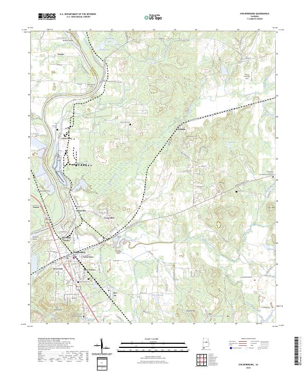
2024 Map of Childersburg
USGS Topo · Published 2024About this map
The Coosa River corridor in Talladega County defines the industrial and residential development of this region, anchored by the city of Childersburg and its surrounding suburbs. The landscape reflects a legacy of river-dependent transport and industry, evidenced by the sites of the Old Kymulga Ferry and Old Lawson Ferry, which historically linked the riverbanks before modern bridges. Industrial footprints are prominent at Coosa Pines, while residential growth is clustered in neighborhoods like Grove Park, Indian Hill, and Minor Terrace. Genealogists will find a wealth of burial sites across the quadrangle, ranging from the large Childersburg Cem to smaller family and community locations such as the Nicholls Cem and the Mount Zion Christian Methodist Episcopal Cem. The map also captures the varied terrain between the river and the heights of Cave Mtn, showing how modern infrastructure such as the DeSoto Caverns Pkwy navigates the creeks and ridges.
Find a feature on this map
109 named features on this map. Tap any name to fly to it.
Don’t see what you’re looking for? This feature index may not catch every label — zoom into the map to look around manually.
Map Details
Editions of this 2024 Childersburg Map
This is the sole edition of this map. No revisions or reprints were ever made.
Other maps of this area

1890 · Talladega
USGS Topo · 1:125,000

1892 · Talladega
USGS Topo · 1:125,000

1915 · Gantts Quarry
USGS Topo · 1:48,000

1917 · Gantts Quarry
USGS Topo · 1:62,500

1943 · Talladega
USGS Topo · 1:62,500

1944 · Goodwater
USGS Topo · 1:62,500

1946 · Talladega
USGS Topo · 1:62,500

1947 · Goodwater
USGS Topo · 1:62,500

1951 · Vincent
USGS Topo · 1:24,000

1951 · Laniers
USGS Topo · 1:24,000