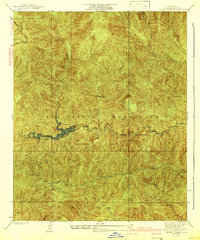
1942 Map of Chileno Canyon
USGS Topo · Published 1942About this map
The San Gabriel Mountains dominate this 1942 survey, revealing a landscape defined by critical water management and high-altitude recreation during the early 1940s. The West Fork San Gabriel River flows through the center of the sheet, feeding into a prominent Flood Control Reservoir. This infrastructure represents the massive engineering efforts undertaken to manage the watershed above the Los Angeles basin. In the canyons, the Pasadena Bait Club suggests the area's popularity for local sport, while the Angeles Crest Highway snakes through the northern peaks.
Find a feature on this map
22 named features on this map. Tap any name to fly to it.
Don’t see what you’re looking for? This feature index may not catch every label — zoom into the map to look around manually.
Map Details
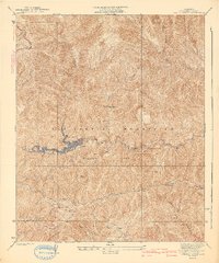
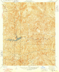
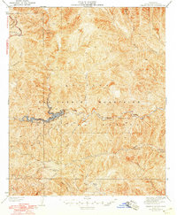
Editions of this 1942 Chileno Canyon Map
4 editions found
Other maps of this area

1894 · Los Angeles
USGS Topo · 1:62,500

1894 · Pomona
USGS Topo · 1:62,500

1896 · Pasadena
USGS Topo · 1:62,500

1897 · Pomona
USGS Topo · 1:62,500

1898 · Pomona
USGS Topo · 1:62,500

1900 · Pasadena
USGS Topo · 1:62,500

1900 · Tujunga
USGS Topo · 1:62,500

1900 · Los Angeles
USGS Topo · 1:62,500

1901 · Southern California Sheet No. 1
USGS Topo · 1:250,000

1903 · Rock Creek
USGS Topo · 1:62,500