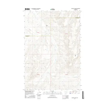
2017 Map of Chilkoot Coulee
USGS Topo · Published 2017About this map
Chilkoot Coulee and the high elevations of Wild Horse Ridge dominate this section of the Montana landscape at the border of Yellowstone and Big Horn counties. The terrain is defined by a dense network of drainages and seasonal watercourses, including E Pryor Cr and Beauvais Cr, which carve through the plateau. Transportation in this area is limited to a few arterial routes such as Pryor-St Xavier Rd and E Pryor Creek Rd, reflecting the sparse settlement and open range characteristic of the region. The map highlights the intersection of township and range lines across the divide between Big Woody Cr and Cottonwood Cr, providing a clear view of the land division and natural topography in this high country.
Find a feature on this map
17 named features on this map. Tap any name to fly to it.
Don’t see what you’re looking for? This feature index may not catch every label — zoom into the map to look around manually.
Map Details
Editions of this 2017 Chilkoot Coulee Map
This is the sole edition of this map. No revisions or reprints were ever made.
Other maps of this area

1893 · Huntley
USGS Topo · 1:125,000

1954 · Billings
USGS Topo · 1:250,000

1957 · Billings
USGS Topo · 1:250,000

1958 · Billings
USGS Topo · 1:250,000
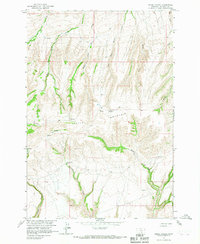
1964 · Horse Coulee
USGS Topo · 1:24,000

1967 · Deep Creek SE
USGS Topo · 1:24,000

1967 · Deep Creek
USGS Topo · 1:24,000

1967 · Deep Creek SW
USGS Topo · 1:24,000

1967 · Soda Springs
USGS Topo · 1:24,000
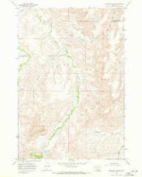
1967 · Chilkoot Coulee
USGS Topo · 1:24,000