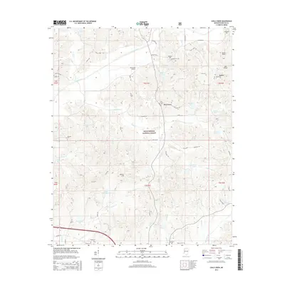
2015 Map of Chilli Creek
USGS Topo · Published 2015About this map
Pine Grove and the surrounding woodlands of the Holly Springs National Forest define this area of Mississippi's northern hills. The landscape is deeply carved by water, with the Tippah River winding through the northern reaches while the various forks of Chilli Creek dominate the central and southern terrain. For those investigating local lineages, a high density of rural burial grounds is scattered across the township lines, including the Hudspeth Cem, Collins Cem, and Elliott Cem. Near the community of Bethel, elevations reach their peak at Clemmer Hill and Suttles Rocks, overlooking numerous small watershed lakes such as Autry Lake and Baugham Lake. The presence of several family-named landmarks like Richmond Hollow and Hunters Hill suggests a long-standing pattern of settlement and land ownership throughout this transition from forest to farmland.
Find a feature on this map
65 named features on this map. Tap any name to fly to it.
Don’t see what you’re looking for? This feature index may not catch every label — zoom into the map to look around manually.
Map Details
Editions of this 2015 Chilli Creek Map
This is the sole edition of this map. No revisions or reprints were ever made.
Other maps of this area

1944 · Potts Camp
USGS Topo · 1:62,500

1945 · Potts Camp
USGS Topo · 1:62,500

1950 · Ashland
USGS Topo · 1:62,500

1953 · Holly Springs
USGS Topo · 1:62,500

1955 · Blue Mountain
USGS Topo · 1:62,500

1956 · Tupelo
USGS Topo · 1:250,000

1958 · Tupelo
USGS Topo · 1:250,000

1964 · Holly Springs SE
USGS Topo · 1:24,000
1969 · Holly Springs
USGS Topo · 1:62,500
1982 · Blue Mountain
USGS Topo · 1:24,000