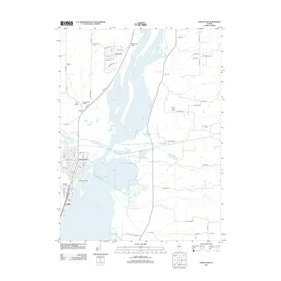
2012 Map of Chillicothe
USGS Topo · Published 2012About this map
Chillicothe occupies the western bank of the Illinois River where it widens into Upper Peoria Lake, serving as a central hub for the surrounding riverfront communities. This landscape is defined by its complex hydrology, with Chillicothe Island and Babb Slough sitting across the main channel from the primary settlement. To the north, the newer residential streets of Hopewell wind through the bluffs above Wightman Lake, while the smaller community of Coughlin sits at the southern edge of the quadrangle.
Find a feature on this map
77 named features on this map. Tap any name to fly to it.
Don’t see what you’re looking for? This feature index may not catch every label — zoom into the map to look around manually.
Map Details
Editions of this 2012 Chillicothe Map
This is the sole edition of this map. No revisions or reprints were ever made.
Other maps of this area

1893 · Lacon
USGS Topo · 1:62,500

1893 · Metamora
USGS Topo · 1:62,500

1893 · Dunlap
USGS Topo · 1:62,500

1898 · Dunlap
USGS Topo · 1:62,500

1932 · Dunlap
USGS Topo · 1:62,500

1933 · Dunlap
USGS Topo · 1:62,500

1933 · Lacon
USGS Topo · 1:62,500

1933 · Camp Grove
USGS Topo · 1:48,000

1937 · Metamora
USGS Topo · 1:62,500

1937 · Dunlap
USGS Topo · 1:62,500