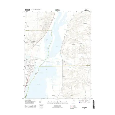
2015 Map of Chillicothe
USGS Topo · Published 2015About this map
The Illinois River dominates the center of this landscape, carving a wide valley where the boundaries of Peoria, Marshall, and Woodford counties meet. The river's influence is clear in the complex hydrology of Babb Slough and the prominent Chillicothe Island, while the southern reaches open into the expansive Upper Peoria Lake. On the western bluffs, the settlement of Chillicothe is laid out in a dense street grid that transitions into North Chillicothe and the village of Hopewell.
Find a feature on this map
85 named features on this map. Tap any name to fly to it.
Don’t see what you’re looking for? This feature index may not catch every label — zoom into the map to look around manually.
Map Details
Editions of this 2015 Chillicothe Map
This is the sole edition of this map. No revisions or reprints were ever made.
Other maps of this area

1893 · Lacon
USGS Topo · 1:62,500

1893 · Metamora
USGS Topo · 1:62,500

1893 · Dunlap
USGS Topo · 1:62,500

1898 · Dunlap
USGS Topo · 1:62,500

1932 · Dunlap
USGS Topo · 1:62,500

1933 · Dunlap
USGS Topo · 1:62,500

1933 · Lacon
USGS Topo · 1:62,500

1933 · Camp Grove
USGS Topo · 1:48,000

1937 · Metamora
USGS Topo · 1:62,500

1937 · Dunlap
USGS Topo · 1:62,500