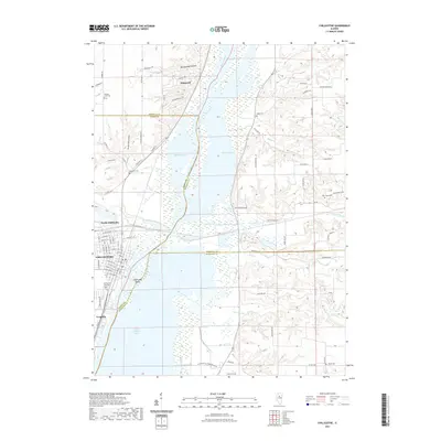
2021 Map of Chillicothe
USGS Topo · Published 2021About this map
The Illinois River corridor defines the geography of this Peoria County region, where the river widens into Upper Peoria Lake and creates the large landmass of Chillicothe Island. The city of Chillicothe and adjacent North Chillicothe sit on the western terrace, organized around a dense grid of residential streets like W Truitt Ave and W Wilmot ST. Further north, the upland settlement of Hopewell is characterized by winding roads and proximity to the steep ravines of Rattlesnake Hollow.
Find a feature on this map
93 named features on this map. Tap any name to fly to it.
Don’t see what you’re looking for? This feature index may not catch every label — zoom into the map to look around manually.
Map Details
Editions of this 2021 Chillicothe Map
This is the sole edition of this map. No revisions or reprints were ever made.
Other maps of this area

1893 · Lacon
USGS Topo · 1:62,500

1893 · Metamora
USGS Topo · 1:62,500

1893 · Dunlap
USGS Topo · 1:62,500

1898 · Dunlap
USGS Topo · 1:62,500

1932 · Dunlap
USGS Topo · 1:62,500

1933 · Dunlap
USGS Topo · 1:62,500

1933 · Lacon
USGS Topo · 1:62,500

1933 · Camp Grove
USGS Topo · 1:48,000

1937 · Metamora
USGS Topo · 1:62,500

1937 · Dunlap
USGS Topo · 1:62,500