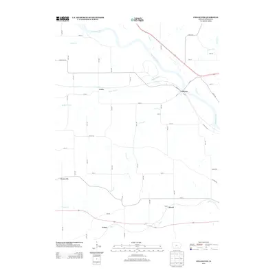
2013 Map of Chillicothe
USGS Topo · Published 2013About this map
The Des Moines River winds through the heart of this landscape, anchoring the village of Chillicothe at its northern bend. This river corridor has long served as a vital artery for Wapello County, influencing the placement of early settlements and local infrastructure. To the west, the village of Dudley is situated along Middle Avery Cr, a waterway that joins several branches including N Avery Cr and S Avery Cr as they flow toward the river.
Find a feature on this map
53 named features on this map. Tap any name to fly to it.
Don’t see what you’re looking for? This feature index may not catch every label — zoom into the map to look around manually.
Map Details
Editions of this 2013 Chillicothe Map
This is the sole edition of this map. No revisions or reprints were ever made.
Other maps of this area

1954 · Centerville
USGS Topo · 1:250,000

1954 · Des Moines
USGS Topo · 1:250,000

1956 · Des Moines
USGS Topo · 1:250,000

1956 · Ottumwa North
USGS Topo · 1:62,500

1956 · Ottumwa South
USGS Topo · 1:24,000

1956 · Ottumwa South
USGS Topo · 1:62,500

1956 · Ottumwa North
USGS Topo · 1:24,000

1957 · Des Moines
USGS Topo · 1:250,000

1957 · Centerville
USGS Topo · 1:250,000

1958 · Centerville
USGS Topo · 1:250,000