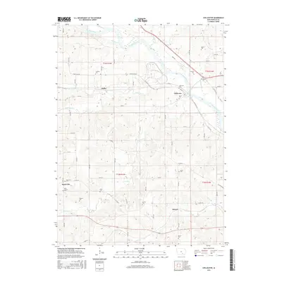
2015 Map of Chillicothe
USGS Topo · Published 2015About this map
The Des Moines River cuts a wide path through the northern half of this Iowa landscape, where the town of Chillicothe sits along its southern bank. The river is fed by a complex drainage system including Palestine Cr, N Avery Cr, and Middle Avery Cr, creating a varied topography of ridges and stream valleys. This 2015 survey reveals a deeply established rural cemetery network that provides significant data for genealogical research, with sites like Columbia Cem, Williams Cem, and Griffith Cem dotting the countryside.
Find a feature on this map
64 named features on this map. Tap any name to fly to it.
Don’t see what you’re looking for? This feature index may not catch every label — zoom into the map to look around manually.
Map Details
Editions of this 2015 Chillicothe Map
This is the sole edition of this map. No revisions or reprints were ever made.
Other maps of this area

1954 · Centerville
USGS Topo · 1:250,000

1954 · Des Moines
USGS Topo · 1:250,000

1956 · Des Moines
USGS Topo · 1:250,000

1956 · Ottumwa North
USGS Topo · 1:62,500

1956 · Ottumwa South
USGS Topo · 1:24,000

1956 · Ottumwa South
USGS Topo · 1:62,500

1956 · Ottumwa North
USGS Topo · 1:24,000

1957 · Des Moines
USGS Topo · 1:250,000

1957 · Centerville
USGS Topo · 1:250,000

1958 · Centerville
USGS Topo · 1:250,000