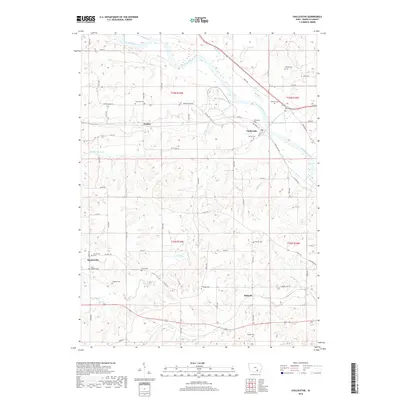
2018 Map of Chillicothe
USGS Topo · Published 2018About this map
The Des Moines River winds through the northern portion of this landscape, anchoring the historic settlement of Chillicothe. This river valley is characterized by broad meanders and a complex network of tributaries including Fudge Cr, Palestine Cr, and Comstock Cr that drain the surrounding Iowa uplands. The distribution of small cemeteries like Myrick Cem and Columbia Cem across the rural sections of t73n r15w and t73n r14w reflects a decentralized settlement pattern common in the county's agricultural history.
Find a feature on this map
52 named features on this map. Tap any name to fly to it.
Don’t see what you’re looking for? This feature index may not catch every label — zoom into the map to look around manually.
Map Details
Editions of this 2018 Chillicothe Map
This is the sole edition of this map. No revisions or reprints were ever made.
Other maps of this area

1954 · Centerville
USGS Topo · 1:250,000

1954 · Des Moines
USGS Topo · 1:250,000

1956 · Des Moines
USGS Topo · 1:250,000

1956 · Ottumwa North
USGS Topo · 1:62,500

1956 · Ottumwa South
USGS Topo · 1:24,000

1956 · Ottumwa South
USGS Topo · 1:62,500

1956 · Ottumwa North
USGS Topo · 1:24,000

1957 · Des Moines
USGS Topo · 1:250,000

1957 · Centerville
USGS Topo · 1:250,000

1958 · Centerville
USGS Topo · 1:250,000