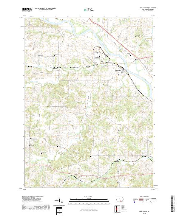
2022 Map of Chillicothe
USGS Topo · Published 2022About this map
Chillicothe sits at a strategic bend of the Des Moines River, where a network of local roads and waterways converged in the early 21st century. This portion of Wapello County is defined by the three branches of Avery Creek—N Avery Cr, Middle Avery Cr, and S Avery Cr—which carve through the terrain south of the river. The settlement patterns reflect a deep-rooted rural community, evidenced by the high density of family and community burial grounds including Columbia Cem, Griffith Cem, and Comstock Cem.
Find a feature on this map
65 named features on this map. Tap any name to fly to it.
Don’t see what you’re looking for? This feature index may not catch every label — zoom into the map to look around manually.
Map Details
Editions of this 2022 Chillicothe Map
This is the sole edition of this map. No revisions or reprints were ever made.
Other maps of this area

1954 · Centerville
USGS Topo · 1:250,000

1954 · Des Moines
USGS Topo · 1:250,000

1956 · Des Moines
USGS Topo · 1:250,000

1956 · Ottumwa North
USGS Topo · 1:62,500

1956 · Ottumwa South
USGS Topo · 1:24,000

1956 · Ottumwa South
USGS Topo · 1:62,500

1956 · Ottumwa North
USGS Topo · 1:24,000

1957 · Des Moines
USGS Topo · 1:250,000

1957 · Centerville
USGS Topo · 1:250,000

1958 · Centerville
USGS Topo · 1:250,000