
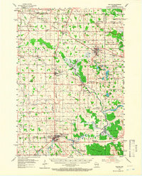
1954 Map of Chilton
USGS Topo · Published 1956About this map
The Manitowoc River system and its many tributaries, including the Killsnake River and North Branch Manitowoc River, define the dairy-rich landscape of Calumet County during the mid-1950s. At the heart of the region, Chilton and Brillion serve as primary hubs, connected by a dense network of railroads including the Chicago and North Western and the Chicago Milwaukee St Paul and Pacific.
Find a feature on this map
95 named features on this map. Tap any name to fly to it.
Don’t see what you’re looking for? This feature index may not catch every label — zoom into the map to look around manually.
Map Details
Editions of this 1954 Chilton Map
Other maps of this area

1910 · Fond du Lac
USGS Topo · 1:62,500

1911 · Neenah
USGS Topo · 1:62,500

1954 · De Pere
USGS Topo · 1:62,500

1954 · School Hill
USGS Topo · 1:24,000

1954 · Denmark
USGS Topo · 1:62,500

1954 · Howards Grove
USGS Topo · 1:62,500

1954 · Reedsville
USGS Topo · 1:62,500

1954 · Kiel
USGS Topo · 1:62,500

1954 · Milwaukee
USGS Topo · 1:250,000

1954 · Manitowoc
USGS Topo · 1:250,000