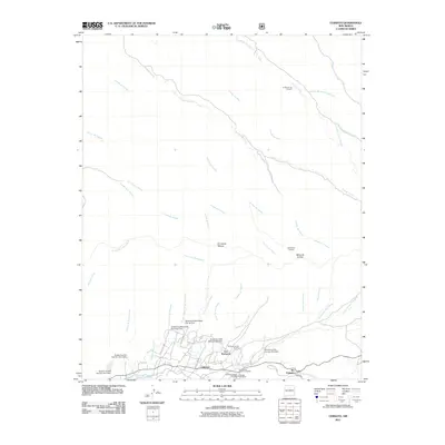
2011 Map of Chimayo
USGS Topo · Published 2011About this map
Chimayo and the surrounding valley communities of Los Pachecos and El Rincon de los Trujillos are shown in detail along the banks of the Santa Cruz River. This northern New Mexico landscape is characterized by a sophisticated network of traditional irrigation and modern water management, seen in the winding Quarteles Ditch and a series of flood control structures including the Santa Cruz Watershed Site 3a Dam. The settlement pattern follows the narrow fertile strips between high arid terrain, such as the Mesa de la Ceja to the east. For those researching local heritage, the map identifies significant landmarks like the Chimayo Post Office, the Holy Family Church Cemetery, and the Chimayo Catholic Cemetery, alongside numerous named arroyos and cañadas that define the ancestral boundaries of this high-desert region.
Find a feature on this map
52 named features on this map. Tap any name to fly to it.
Don’t see what you’re looking for? This feature index may not catch every label — zoom into the map to look around manually.
Map Details
Editions of this 2011 Chimayo Map
This is the sole edition of this map. No revisions or reprints were ever made.
Other maps of this area

1889 · Santa Fe
USGS Topo · 1:125,000

1892 · Santa Clara
USGS Topo · 1:125,000

1894 · Santa Fe
USGS Topo · 1:125,000

1918 · Abiquiu
USGS Topo · 1:125,000

1953 · Espanola
USGS Topo · 1:24,000

1953 · San Juan Pueblo
USGS Topo · 1:24,000

1953 · Lyden
USGS Topo · 1:24,000

1953 · Truchas
USGS Topo · 1:24,000

1953 · Velarde
USGS Topo · 1:24,000

1953 · Sierra Mosca
USGS Topo · 1:24,000