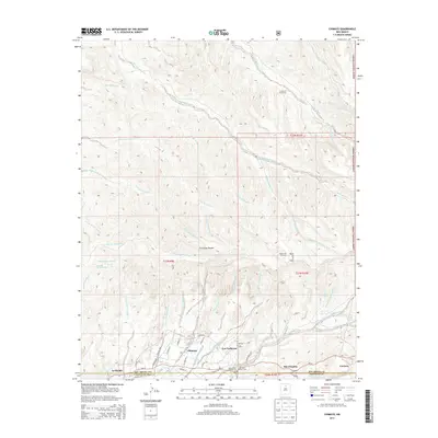
2013 Map of Chimayo
USGS Topo · Published 2013About this map
Chimayo and Cordova anchor this mountain-valley landscape, where the Santa Cruz River watershed is defined by an intricate network of arroyos and cañadas. The map illustrates a historic settlement pattern of small communities like Los Pachecos and La Puebla clustered near water sources. Significant cultural sites are identified, including the El Rincon de los Trujillos Church and Holy Family Church, alongside a Catholic Cem. The northern portion of the map is dominated by the steep topography of the Carson National Forest, while the southern reaches show the convergence of Rio Chiquito with the local drainage systems. The presence of the Quarteles Ditch highlights the region's reliance on traditional acequia-style irrigation. Numerous family-named landmarks, such as Arroyo de los Martinez and Arroyo de los Alamos, provide vital clues for genealogists and local historians tracing the Spanish-American heritage of this northern New Mexico corridor.
Find a feature on this map
61 named features on this map. Tap any name to fly to it.
Don’t see what you’re looking for? This feature index may not catch every label — zoom into the map to look around manually.
Map Details
Editions of this 2013 Chimayo Map
This is the sole edition of this map. No revisions or reprints were ever made.
Other maps of this area

1889 · Santa Fe
USGS Topo · 1:125,000

1892 · Santa Clara
USGS Topo · 1:125,000

1894 · Santa Fe
USGS Topo · 1:125,000

1918 · Abiquiu
USGS Topo · 1:125,000

1953 · Espanola
USGS Topo · 1:24,000

1953 · San Juan Pueblo
USGS Topo · 1:24,000

1953 · Lyden
USGS Topo · 1:24,000

1953 · Truchas
USGS Topo · 1:24,000

1953 · Velarde
USGS Topo · 1:24,000

1953 · Sierra Mosca
USGS Topo · 1:24,000