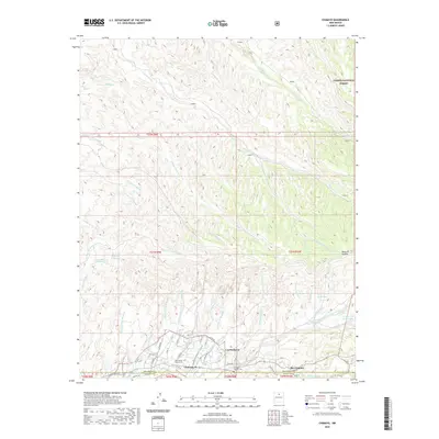
2020 Map of Chimayo
USGS Topo · Published 2020About this map
Chimayo and the neighboring settlements of Los Pachecos and Rio Chiquito anchor the southern portion of this landscape, situated at the confluence of the Santa Cruz River and the Rio Quemado. The map details a complex system of water management and drainage, with the Quarteles Ditch and numerous arroyos such as Arroyo de Chimayague and Arroyo de Quarteles cutting through the terrain. The presence of the Holy Family Church Cem and the Chimayo Catholic Cem provides essential reference points for those researching the local genealogy and religious history of this area.
Find a feature on this map
58 named features on this map. Tap any name to fly to it.
Don’t see what you’re looking for? This feature index may not catch every label — zoom into the map to look around manually.
Map Details
Editions of this 2020 Chimayo Map
This is the sole edition of this map. No revisions or reprints were ever made.
Other maps of this area

1889 · Santa Fe
USGS Topo · 1:125,000

1892 · Santa Clara
USGS Topo · 1:125,000

1894 · Santa Fe
USGS Topo · 1:125,000

1918 · Abiquiu
USGS Topo · 1:125,000

1953 · Espanola
USGS Topo · 1:24,000

1953 · San Juan Pueblo
USGS Topo · 1:24,000

1953 · Lyden
USGS Topo · 1:24,000

1953 · Truchas
USGS Topo · 1:24,000

1953 · Velarde
USGS Topo · 1:24,000

1953 · Sierra Mosca
USGS Topo · 1:24,000