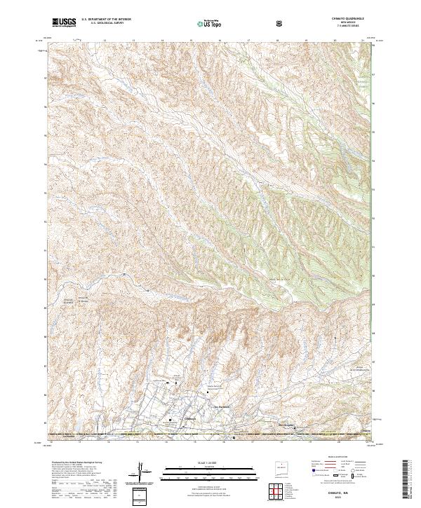
2023 Map of Chimayo
USGS Topo · Published 2023About this map
Chimayo and its surrounding valley settlements define this high-altitude landscape where the Santa Cruz River and Rio Quemado meet. The map reveals a dense network of traditional land use and spiritual sites, including several historic burial grounds such as Nuestra Senora de Carmel Catholic Cem and El Buen Pastor Presbyterian Church Cem. To the north, the terrain rises into the Carson National Forest, characterized by numerous intricate drainage systems like Arroyo del Pueblo and Cañada Ancha. The transition from the high Mesa de la Ceja down into the populated corridors of Rio Chiquito and Cordova illustrates the historical reliance on narrow river valleys for agriculture and habitation in the arid Southwest. This modern survey provides an exact inventory of local roads and water features, tracing the complex geography of the Rio Arriba Co and Santa Fe Co border.
Find a feature on this map
62 named features on this map. Tap any name to fly to it.
Don’t see what you’re looking for? This feature index may not catch every label — zoom into the map to look around manually.
Map Details
Editions of this 2023 Chimayo Map
This is the sole edition of this map. No revisions or reprints were ever made.
Other maps of this area

1889 · Santa Fe
USGS Topo · 1:125,000

1892 · Santa Clara
USGS Topo · 1:125,000

1894 · Santa Fe
USGS Topo · 1:125,000

1918 · Abiquiu
USGS Topo · 1:125,000

1953 · Espanola
USGS Topo · 1:24,000

1953 · San Juan Pueblo
USGS Topo · 1:24,000

1953 · Lyden
USGS Topo · 1:24,000

1953 · Truchas
USGS Topo · 1:24,000

1953 · Velarde
USGS Topo · 1:24,000

1953 · Sierra Mosca
USGS Topo · 1:24,000