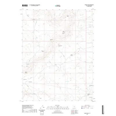
2020 Map of Chimney Rock
USGS Topo · Published 2020About this map
Chimney Rock stands as a prominent landmark within this Emery County landscape, surrounded by high plateaus and complex drainage systems. The terrain is defined by elevated landforms like Huff-Bench and the Cedar Mountains, which drop off into Gooseberry Hollow and the Summit Area. These features suggest a high-desert environment where water is a vital but scarce resource, marked by scattered points such as Wiregrass Spring, Birch Spring, and Hull Spring.
Find a feature on this map
27 named features on this map. Tap any name to fly to it.
Don’t see what you’re looking for? This feature index may not catch every label — zoom into the map to look around manually.
Map Details
Editions of this 2020 Chimney Rock Map
This is the sole edition of this map. No revisions or reprints were ever made.
Other maps of this area

1886 · Price River
USGS Topo · 1:250,000

1896 · Price River
USGS Topo · 1:250,000

1948 · Woodside
USGS Topo · 1:62,500

1949 · Woodside
USGS Topo · 1:62,500

1950 · Woodside
USGS Topo · 1:62,500

1953 · Red Plateau SE
USGS Topo · 1:24,000

1953 · Red Plateau SW
USGS Topo · 1:24,000

1953 · Beckwith Peak SW
USGS Topo · 1:24,000

1956 · Price
USGS Topo · 1:250,000

1960 · Price
USGS Topo · 1:250,000