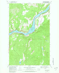
1969 Map of China Bend
USGS Topo · Published 1982About this map
Lake Roosevelt dominates this reach of the Upper Columbia, where the reservoir fills the canyon within the Franklin D Roosevelt National Recreation Area. The landscape is a study in 1960s river-and-rail geography, as the Burlington Northern railroad tracks skirt the eastern shore, connecting small riverfront points like Marble and the eponymous China Bend. This area reflects a mid-century transition from a frontier mining and timber economy to a federally managed recreational landscape.
Find a feature on this map
29 named features on this map. Tap any name to fly to it.
Don’t see what you’re looking for? This feature index may not catch every label — zoom into the map to look around manually.
Map Details
Editions of this 1969 China Bend Map
2 editions found
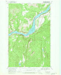
Other maps of this area

1929 · Colville
USGS Topo · 1:125,000

1933 · Colville
USGS Topo · 1:125,000

1936 · Marcus
USGS Topo · 1:96,000

1942 · Marcus
USGS Topo · 1:125,000

1948 · Kettle Falls
USGS Topo · 1:62,500

1948 · Orient
USGS Topo · 1:62,500

1951 · Orient
USGS Topo · 1:62,500

1951 · Kettle Falls
USGS Topo · 1:62,500

1952 · Gillette Mtn
USGS Topo · 1:24,000

1952 · Echo Valley
USGS Topo · 1:24,000