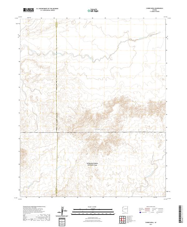
2021 Map of Chinde Mesa
USGS Topo · Published 2021About this map
Petrified Forest National Park occupies the southern half of this landscape, where the high desert terrain transitions into the prominent Chinde Mesa. This geological feature dominates the central portion of the map, rising above a network of seasonal drainage systems that have carved the arid soil. The most significant of these waterways is Wide Ruin Wash, which meanders across the northern reaches, joined by Leroux Wash in the northwest. To the south, within the national park boundaries, the land is etched by Digger Wash and Lithodendron Wash. This 2021 study documents the intersection of protected federal lands and the Navajo Co Apache Co boundary, illustrating a remote portion of the Colorado Plateau characterized by significant elevation changes and deep alluvial washes.
Find a feature on this map
11 named features on this map. Tap any name to fly to it.
Don’t see what you’re looking for? This feature index may not catch every label — zoom into the map to look around manually.
Map Details
Editions of this 2021 Chinde Mesa Map
This is the sole edition of this map. No revisions or reprints were ever made.
Other maps of this area

1886 · Fort Defiance
USGS Topo · 1:250,000

1892 · Fort Defiance
USGS Topo · 1:250,000

1954 · Gallup
USGS Topo · 1:250,000

1958 · Gallup
USGS Topo · 1:250,000

1959 · Gallup
USGS Topo · 1:250,000

1962 · Gallup
USGS Topo · 1:250,000

1967 · Gallup
USGS Topo · 1:250,000
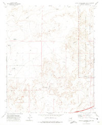
1972 · Little Lithodendron Tank
USGS Topo · 1:24,000
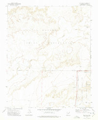
1972 · Pilot Rock
USGS Topo · 1:24,000
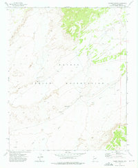
1972 · Tanner Springs
USGS Topo · 1:24,000